Historical Information
Historical Information
Taking the history of the upcountry into consideration, this area which once was a kingdom has an ancient value and this kingdom was the last Sinhalese monarchy of the Thun Sinhala.
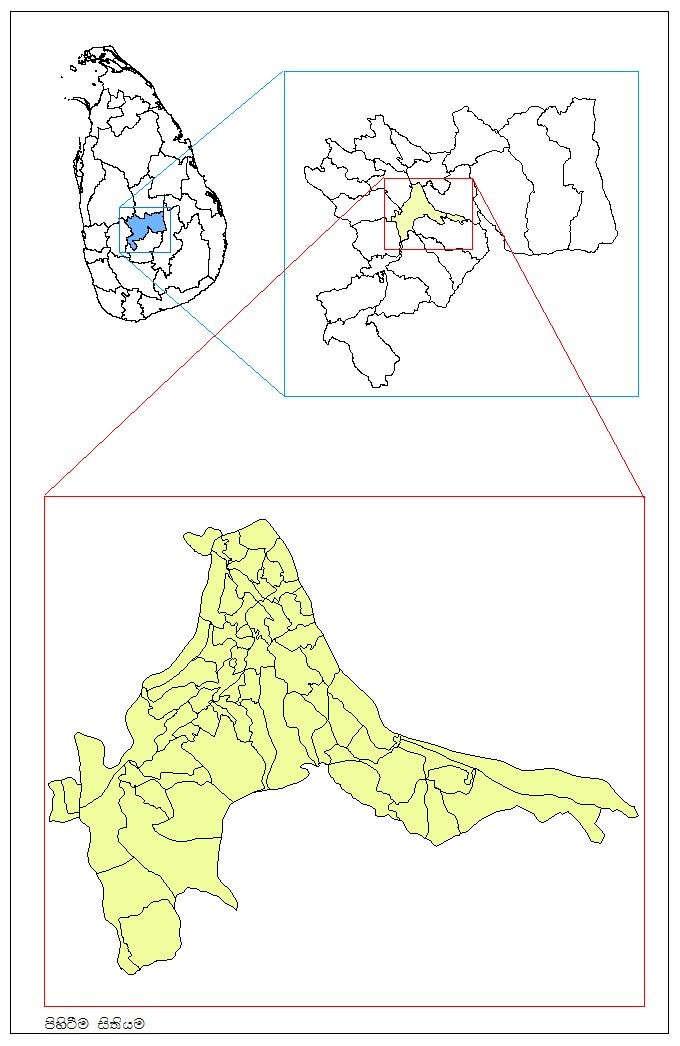
As indicated in the historical records, boundaries of this area are drawn as follows: beyond Haragama, beyond Kundasale, beyond Lewella, beyond Watapuluwathota, upper areas of Mahaiyawa Murapola, Halloluthota, Gatambethota, and Attanagaha Kadulla. The boundary of this kingdom is almost similar to the boundaries of the present Divisional Secretariat. Although in the 14th Century this area was called ‘Ruhunu Rata’, the ancient palm-leaf manuscript of Asgiri Viharaya (Asgiri Thalpatha) proves that this particular area in Mahanuwara (Kandy) was called ‘Katupuluwa’. The upcountry of Sri Lanka has a proud history of 2000 years.
King Panditha Wickramabahu, firmly believing this area to be a ‘Jayabhoomi’ (a land of victory) initiated establishing the Senkadagala Kingdom. Different legends as well as historical literature reveal that the name Senkadagala was coined commemorating the hermit Senkada and the princess Senkunda, and further, historical information provide evidence to prove the fact that there was a red coloured rock. Following the establishment of Senkadagala Kingdom, this area was known as the Udarata Kingdom, and from time immemorial this city was called ‘Maha nuwara’ (Kandy) as this particular city is larger than the other cities. King Wimaladharmasuriya I established the Udarata Kingdom, having Mahanuwara as its capital in 1592 A.D. After King Narendrasinghe’s reign (1707- 1739 A.D), Sri Vijaya Rajasinghe, from Nayak dynasty of South India ascended the throne of Kandyan Kingdom in 1739. Since then, Malabar Street, which is now known as Anagarika Dharmapala Mawatha was a colony of Nayak dynasty. In 1815, the officers of English Governors have been given these buildings for residence.
In 1798 A.D King Rajasinghe ascended to the throne and reigned the kingdom until the British forces invaded Kingdom. However, towards 1815, Kandy district was divided into 9 regions. Earlier, Kandy belonged to the Yatinuwara Division. However, later Yatinuwara Division was divided into three, i.e. Yatinuwara, Senkadagala, and Kandy.
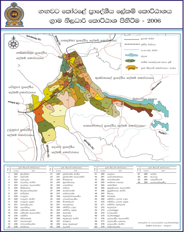
Taking the recent history of the area into consideration, Kandy electoral division and Senkadagala electoral division belong to Gangawata Korale Divisional Secretariat, and earlier, this electoral division was known as Mahanuwara. Before the State principle of decentralizing administration was introduced in 1989, this division had been divided into 23 Grama Niladhari Divisions.
Historical incidents took place in this region manifest that the historic sites and cultural features of Kandy are of great importance. Esala Perahera which consists of the procession of the Sacred Tooth Relic and Four Devalas, is the most vibrant and colourful pageant of the Nation. Esala Perahera is annually held with state patronage, and consequently, the Divisional Secretary is the authorized officer of Esala Perahera.